Fire mission · grid solver
Mortar & artillery calculator
Two grid references in, distance and azimuth out. Built for the second screen — mobile-first, no account, works offline once loaded.
Read it straight off the map. E5 is the big square; each extra keypad digit narrows it by a third — E5-3 is the north-east ninth, E5-3-7 the south-west cell inside that. Keypad digits are optional, and the result updates as you type.
Worked example — overwrite either grid with your own
Keypads use the phone layout (1 = NW … 9 = SE). Square size defaults to the 200 m Hell Let Loose convention. Vietnam's exact grid square is still unverified as of Aug 20 — we haven't found a two-source measurement from the live build, so the selector stays manual rather than us quietly asserting a number. If your map reads differently, switch it above and tell us.
How the solver works
A grid reference resolves to a coordinate: the letter and number name the big square, then each keypad digit narrows it by a factor of three (200 m → 66.7 m → 22.2 m). Range is the straight-line distance between the two points. Azimuth is the bearing from gun to target, given in degrees and in NATO mils — 6,400 to a circle, the scale the Hell Let Loose series has always used for indirect fire.
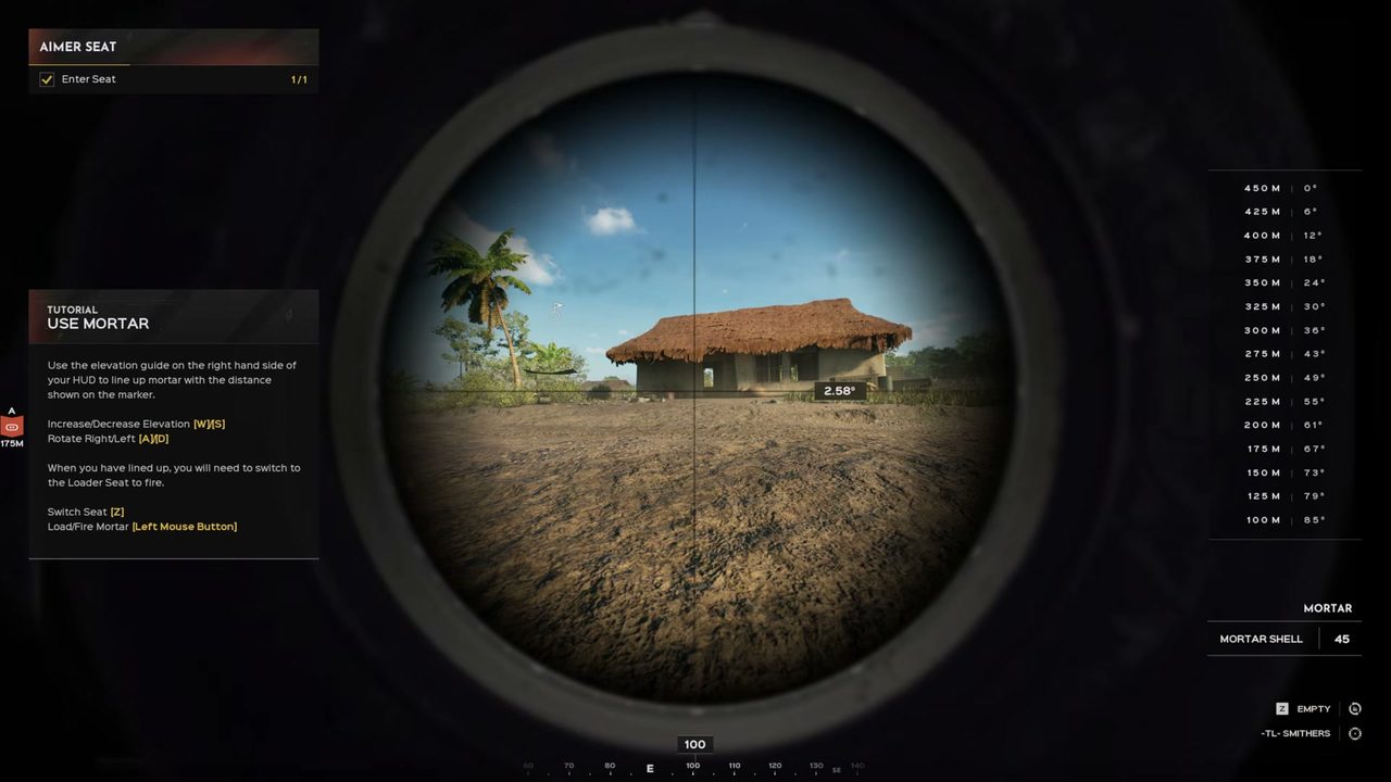
Once a shell's table is live, the same input maps distance to an elevation setting in degrees (the unit the game's own HUD uses — not mils), interpolating between calibrated sample points rather than a fitted curve we can't defend. Every table on this site ships with the sample count, source, and the date it was measured.
The answers the wikis skipped
Independent fan project — not affiliated with Team17 or Expression Games. Every factual claim carries a source link; pages state when they were last verified.